To see this page in your own language use the following translation bar.

Geocaching on the Great Malaga Path

29 December 2018

Two more caches on the Great Málaga Path
Click here to see the route on Google Earth.
(Download Google Earth here)

Return to Illustrated Walks

Click a picture to enlarge it

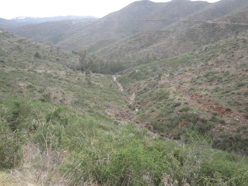
photo

Arroyo del Laurel which later becomes the Ojén River
See on Google Earth
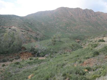
photo

Sierra de Alpujata
See on Google Earth
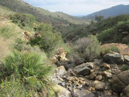
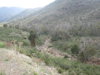
photo

Another view of Arroyo del Laurel which later becomes the Ojén River
See on Google Earth
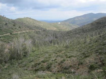
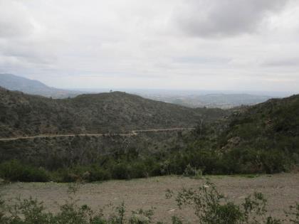
photo

Looking towards the coast you can see the Drug Rehabilitation Centre (white building)
See on Google Earth
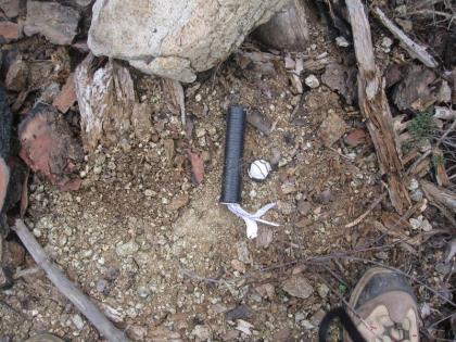
photo

Cache GC6KAGA
Click for details

photo

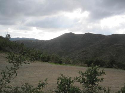
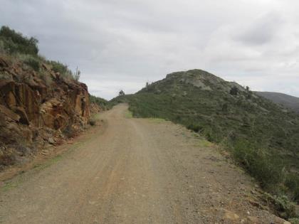
Looking back along the route
See on Google Earth
photo

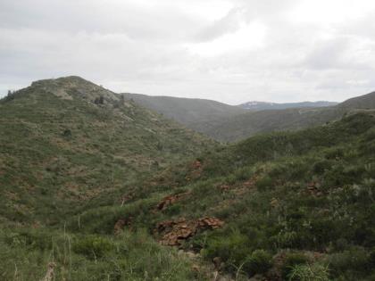
Looking at the next stage (for another day)
See on Google Earth
photo

Cache GC6K5MH
Click for details

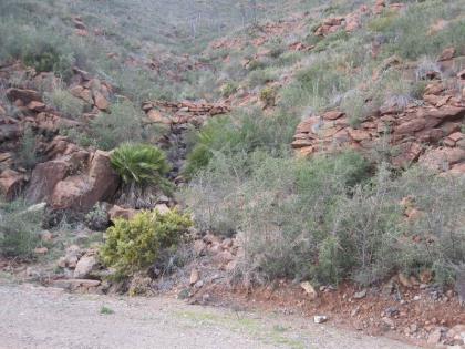
photo

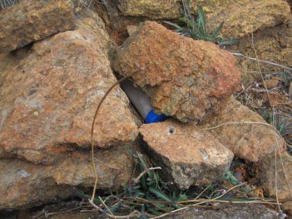
The location of cache GC6K5MH
See on Google Earth
photo

The view from GC6K5MH
See on Google Earth
photo

Heading back to the car
See on Google Earth

photo

Another view of Arroyo del Laurel
See on Google Earth
photo

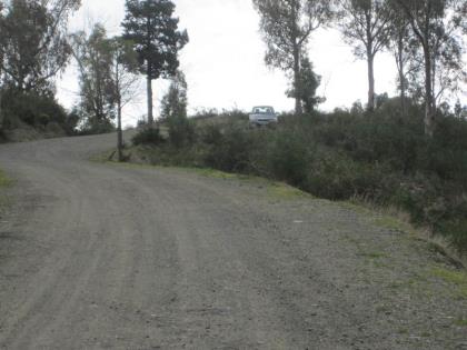
End of the day's geocaching
See on Google Earth
photo

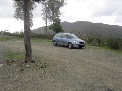
You can park the car here ( Latitude 36.572575° Longitude -4.757583°) but the track is driveable if you are less energetic :-)
See on Google Earth
photo

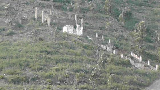
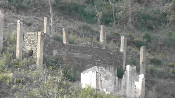
I still don't know what this construction was
See on Google Earth

x
Arroyo del Laurel which later becomes the Ojén River<br /><a href="photo01.kml">See on Google Earth</a><br /><br /> Sierra de Alpujata<br /><a href="photo02.kml">See on Google Earth</a><br /><br /> Another view of Arroyo del Laurel which later becomes the Ojén River<br /><a href="photo03.kml">See on Google Earth</a><br /><br /> Looking towards the coast you can see the Drug Rehabilitation Centre (white building)<br /><a href="photo04.kml">See on Google Earth</a><br /><br /> Cache GC6KAGA<br /><a href="https://www.geocaching.com/geocache/GC6KAGA_et-32-42-gr-249-gsm-ojen-mijas">Click for details</a><br /><br /> Looking back along the route<br /><a href="photo06.kml">See on Google Earth</a><br /><br /> Looking at the next stage (for another day)<br /><a href="photo07.kml">See on Google Earth</a><br /><br /> Cache GC6K5MH<br /><a href="https://www.geocaching.com/geocache/GC6K5MH_et-32-42-gr-249-gsm-ojen-mijas">Click for details</a><br /><br /> The location of cache GC6K5MH<br /><a href="photo09.kml">See on Google Earth</a><br /><br /> The view from GC6K5MH <br /><a href="photo10.kml">See on Google Earth</a><br /><br /> Heading back to the car<br /><a href="photo11.kml">See on Google Earth</a><br /><br /> Another view of Arroyo del Laurel<br /><a href="photo12.kml">See on Google Earth</a><br /><br /> End of the day's geocaching<br /><a href="photo13.kml">See on Google Earth</a><br /><br /> You can park the car here ( Latitude  36.572575° Longitude  -4.757583°) but the track is driveable if you are less energetic :-)<br /><a href="photo14.kml">See on Google Earth</a><br /><br /> I still don't know what this construction was<br /><a href="photo15.kml">See on Google Earth</a><br /><br /> Any ideas?<br /><a href="photo16.kml">See on Google Earth</a><br /><br />

<- ->

This document was last updated 25 July 2019


© 2019 Graham G Hawker
Privacy Policy